

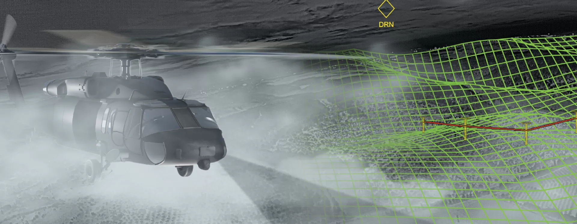
Airborne Imaging Radar for Degraded Visual Environments
Key Takeaways:
- Airborne imaging radar for degraded visual environments (DVE)
- Provides real-time terrain mapping and obstacle detection
- Supports terrain-following and low-visibility flight operations
- Integrates with helmet mounted displays and synthetic vision systems
Whether flying through fog, dust, smoke, clouds or other degraded visual environments (DVE), aircrews need reliable situational awareness to maintain mission effectiveness and flight safety.
Xplore™ is an airborne imaging radar developed by Elbit Systems to provide real-time terrain mapping and obstacle detection when visual references are limited or unavailable. The system generates a high-fidelity 3D representation of the surrounding terrain and integrates it with existing pilot displays, helmet mounted systems and synthetic vision capabilities.
Using software-defined millimeter-wave radar technology, Xplore penetrates conditions that can restrict conventional visual and electro-optical sensors. The system continuously updates terrain information, helping crews identify obstacles, maintain safe flight paths and conduct operations in challenging environments.
Xplore supports a range of operational modes, including augmented reality overlays, night vision enhancement and satellite imagery integration. Terrain data, obstacles and mission information can be fused into a single intuitive view, reducing pilot workload while improving situational awareness.
Designed with low size, weight and power (SWaP) requirements, Xplore integrates with degraded visual environment systems and leading helmet mounted display solutions. The system is suitable for utility, cargo, special operations, attack and search and rescue aircraft.
Fly, Anywhere, Anytime.
Key Benefits
Key Features
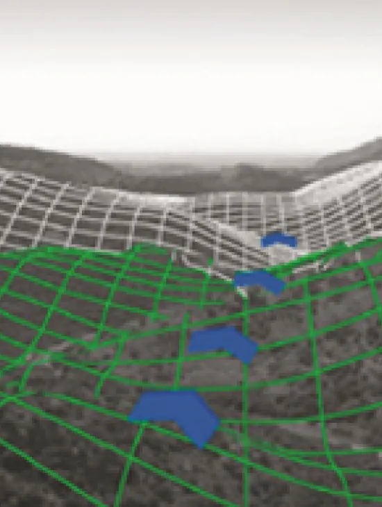
In case of partial visibility, the Xplore terrain grid, obstacles and mission data are overlaid on the external scenery using see-through Helmet Mounted Display (Augmented Reality mode)
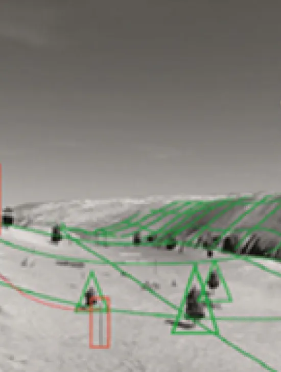
In case of useful night vision (NV) imagery FLIR/NVG), the Xplore terrain grid, obstacles and mission data are overlaid on the NV imagery providing far better SA and flight safety
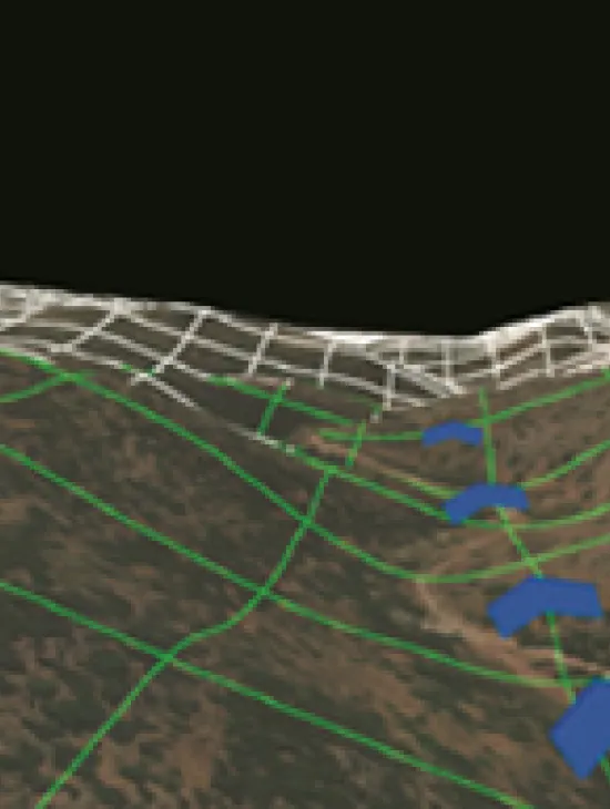
In case of zero visibility conditions, the Xplore overlay a satellite imagery on the RADAR generated terrain model. Combined with terrain grid, obstacles and mission data, Xplore enables intuitive, day like, pilotage
FAQ
Xplore is an airborne imaging radar that provides real-time terrain mapping and obstacle detection in degraded visual environments such as fog, dust, smoke and clouds. It helps aircrews maintain situational awareness when visual references are limited.
The system generates a high-fidelity 3D terrain model and detects obstacles that may not be visible through conventional sensors. This information is presented to the crew through integrated displays and helmet mounted systems, helping pilots navigate more safely.
Yes. Xplore is designed to support terrain-following operations by providing continuous terrain awareness and obstacle information, enabling safer low-altitude flight in challenging visibility conditions.
Xplore is suitable for a variety of airborne platforms, including utility helicopters, cargo aircraft, special operations platforms, attack helicopters and search and rescue aircraft.
Yes. Xplore is designed to integrate with helmet mounted display systems and can augment night vision imagery with terrain, obstacle and mission data to improve situational awareness during day and night operations.


